Find the structure
Start with the correct property in the aerial view and confirm the building outline you want to graph.
AI termite graphing
Let AI help create the structure graph and propose bait stations around it. Give your technician a clear starting point to inspect, adjust and approve.
See it on your properties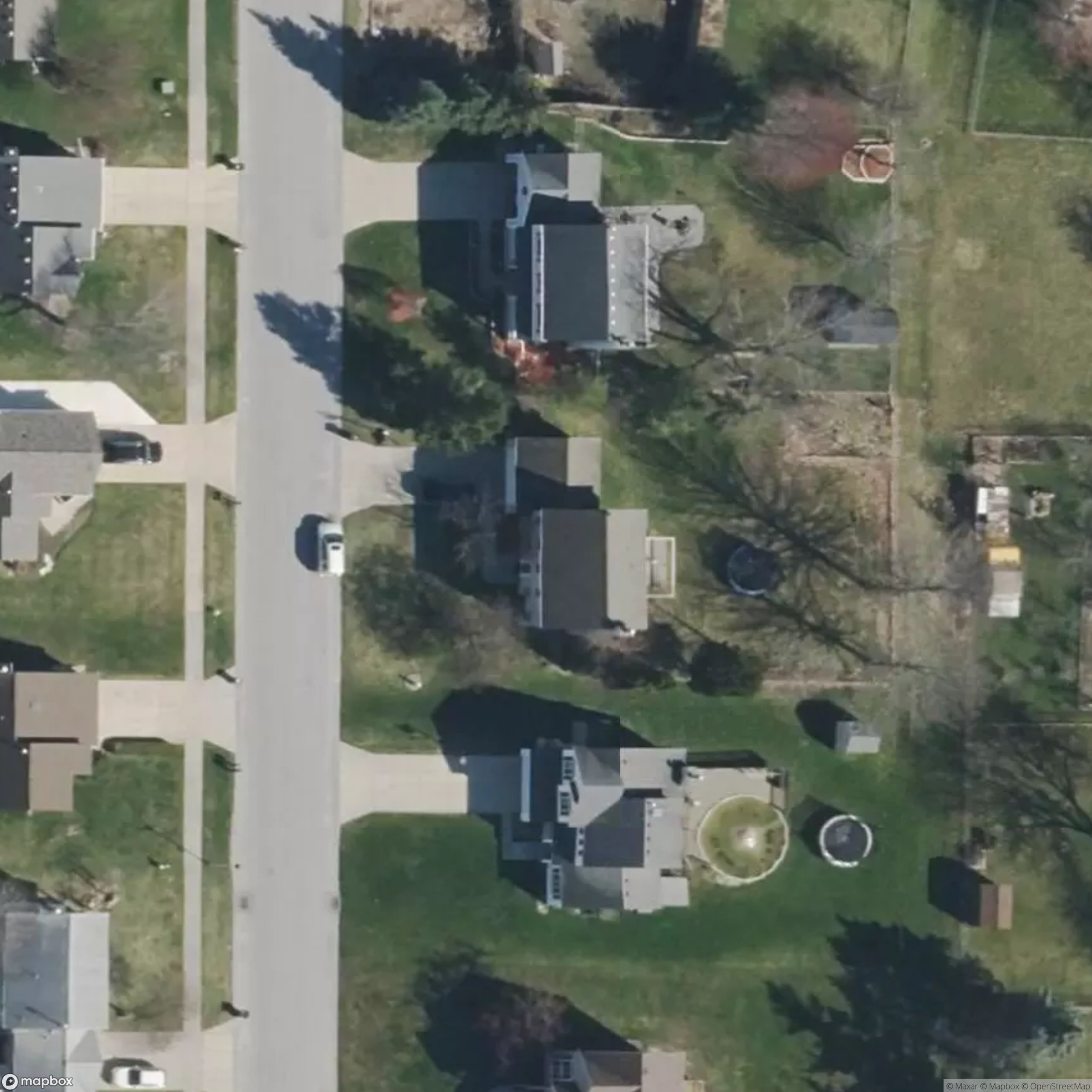
Graph ready for review
Start with aerial context. Build a structure graph. Review proposed bait-station locations around it.
Love’s AI termite graphing turns aerial property context into a structure graph and a proposed bait-station layout. The technician reviews the structure, access and site conditions before confirming the graph and station locations. Proposed markers are planning aids, not proof of installation or inspection findings.
Start with the correct property in the aerial view and confirm the building outline you want to graph.
AI helps draft the structure graph and proposed bait stations around it, giving your team an editable starting point.
Review access, site conditions and actual placement. Update the graph to reflect technician decisions and the work performed.
Bring the aerial context and structure outline together before the technician walks the property.
The graph starts the conversation; the inspection and actual site conditions complete it.
Before the next job
Yes. Love supports AI-assisted structure graphing with a proposed bait-station layout from aerial property context. Your technician reviews and adjusts the result before relying on it for the job.
Yes. The AI-assisted workflow can propose station locations around the mapped structure. Proposed locations still require technician review for actual conditions, access and the requirements of the work being performed.
No. A graph or proposed marker does not establish an inspection finding, termite activity or completed installation. Actual observations and installed locations must be confirmed and recorded by your team.
No. Graphing is a planning and documentation aid. It does not replace the inspection, required forms, site assessment, technician judgment or applicable treatment requirements.
See the whole picture
Measure the grass you’ll service and the structure you’re looking at. AI helps turn aerial property context into square footage your team can review.
Explore the workflowTurn the structure’s outline into a clearer perimeter estimate. See the path, review the edges and keep linear feet separate from square feet.
Explore the workflowBuilt for the work you know
See area, distance and graphing workflows with the Love team.
See it on your properties