AI mapping, measuring & graphing
A little more clarity.
All around the property.
From lawn area to structure perimeter to a termite graph, bring the shape of the job into focus before the work begins.
See it on your properties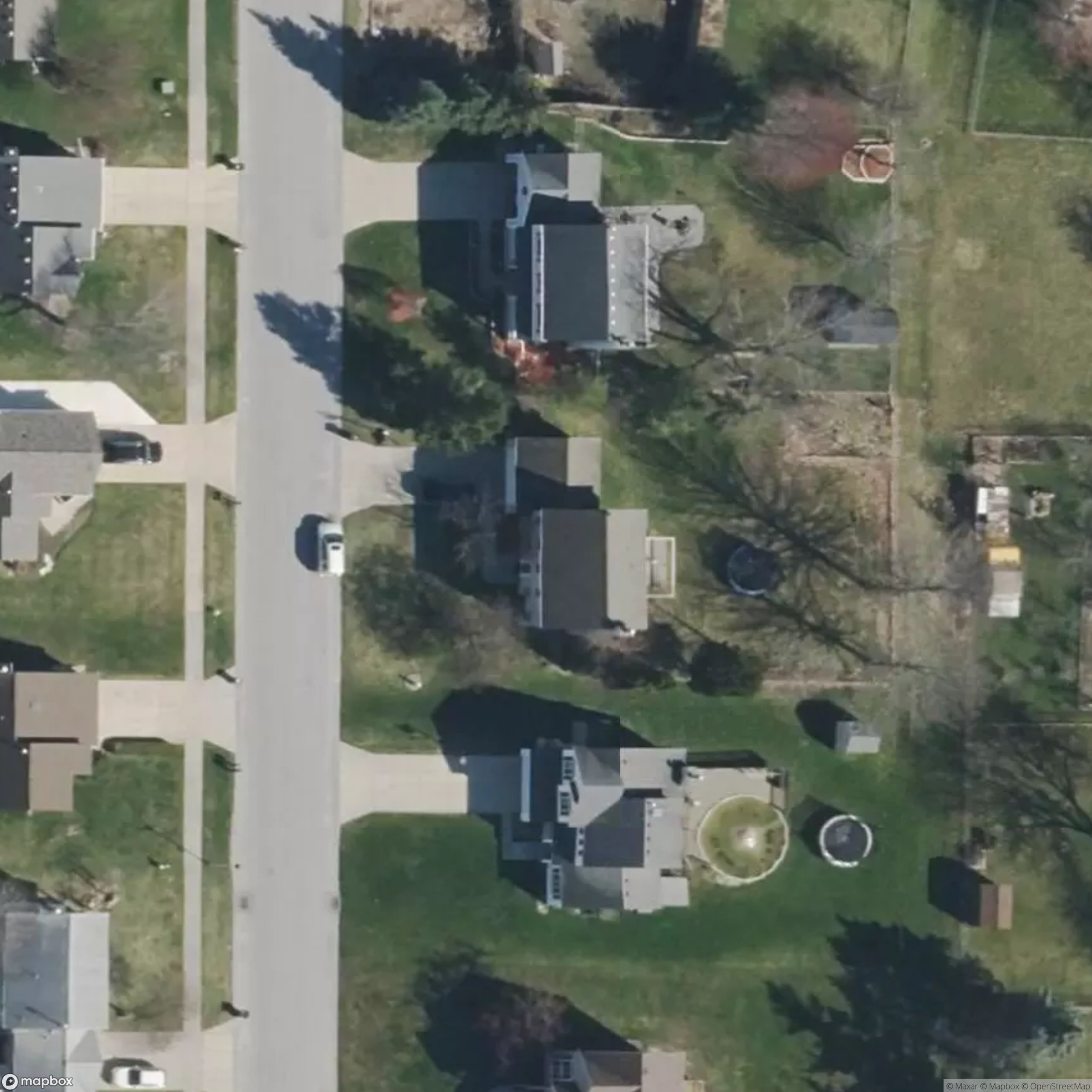
Measurement ready for review
AI outlines the serviceable grass and leaves out the house, driveway and other non-lawn surfaces.
One property. Different questions.
The right measurement.
For the work in front of you.
Measure area in square feet, distance in linear feet, and create a structure graph with proposed bait stations. Your team reviews the shape and the scope before using the result.
Square-footage measuring
Measure the grass you’ll service and the structure you’re looking at. AI helps turn aerial property context into square footage your team can review.
Explore the workflowLinear-foot measuring
Turn the structure’s outline into a clearer perimeter estimate. See the path, review the edges and keep linear feet separate from square feet.
Explore the workflowAI termite graphing
Let AI help create the structure graph and propose bait stations around it. Give your technician a clear starting point to inspect, adjust and approve.
Explore the workflowFrom a map to a better conversation
Less guesswork.
More shared context.
Show the office and field the area or outline behind the estimate. Confirm what is included, review exclusions and bring your own pricing, site knowledge and technician judgment.
A few good questions
Clear on the map.
Clear on the details.
What AI mapping and measuring tools does Love offer?
Love offers AI-assisted lawn and structure area measuring, linear-foot and perimeter measuring, and termite graphing with proposed bait-station layouts. Review the map and verify consequential dimensions and site conditions before relying on the result.
What is the difference between square feet and linear feet?
Square feet measure an area, such as mapped grass or a building footprint. Linear feet measure a length, such as an exterior perimeter or a selected run. Love presents these as different scopes, not interchangeable numbers.
Can Love turn satellite imagery into a termite graph?
Love’s AI-assisted termite workflow can create a structure graph and propose bait-station locations from aerial property context. The technician reviews the outline, site conditions and final locations.
How do I see measuring on my own properties?
Schedule a Love demo and bring examples of the properties and service scopes your team needs to measure. The team can walk through area, distance and graphing workflows with you.
Built for the work you know
Bring a property.
We’ll show you around.
See area, distance and graphing workflows with the Love team.
See it on your properties