Choose the line you need
Start with the property and identify the full structure perimeter or the specific run you want to measure.
AI distance & perimeter measuring
Turn the structure’s outline into a clearer perimeter estimate. See the path, review the edges and keep linear feet separate from square feet.
See it on your properties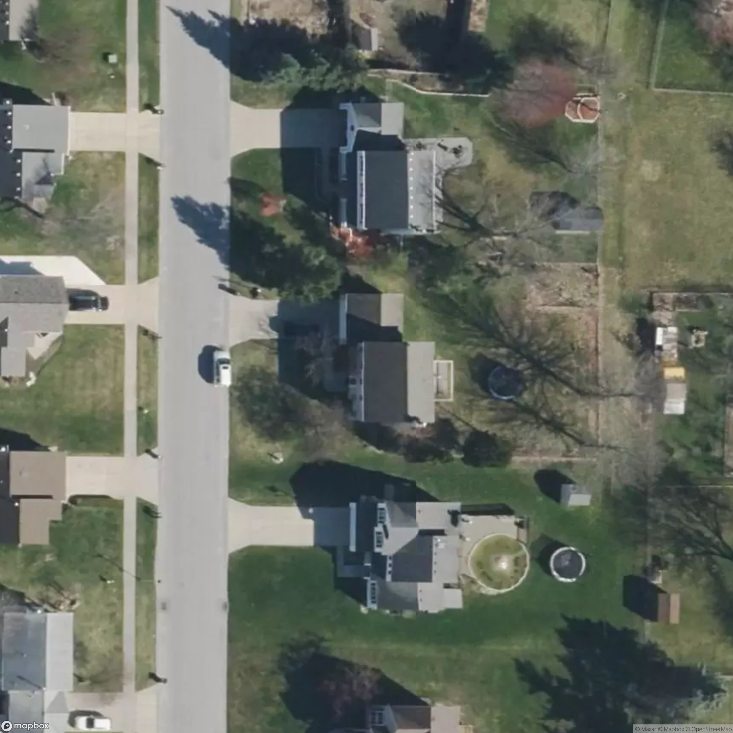
Measurement ready for review
Trace the structure’s exterior and turn the reviewed outline into linear feet.
Love supports linear-foot measurement of mapped paths and structure perimeters. A closed outline measures the full perimeter; an open path measures only the selected run. Review what is included before using the length for estimating or planning.
Start with the property and identify the full structure perimeter or the specific run you want to measure.
Check the traced corners, additions and exclusions. Make sure a roof edge or shadow is not being mistaken for the service boundary.
Use the reviewed length to inform an estimate or planning conversation, then verify access, conditions and critical dimensions in the field.
A visible outline gives the office and field a common reference for the run being measured.
Linear feet describe length. Square feet describe area. A clear scope helps prevent a lawn-area figure from being mistaken for structure length.
Before the next job
Yes. Love’s property-measuring workflow supports structure outlines and paths in linear feet. Review the traced edges and confirm whether the measurement covers the whole perimeter or only the selected run.
An open path measures the distance along the selected points. A closed perimeter also includes the final segment back to the starting point. Confirm which scope you need before using the total.
Satellite or aerial imagery shows exterior context. It does not reveal indoor room dimensions or hidden walls. Interior measurements require appropriate floor-plan information or on-site measurement.
No. A length is only one planning input. The technician still determines the actual treatment scope, site conditions, applicable requirements and any product-specific instructions.
See the whole picture
Measure the grass you’ll service and the structure you’re looking at. AI helps turn aerial property context into square footage your team can review.
Explore the workflowLet AI help create the structure graph and propose bait stations around it. Give your technician a clear starting point to inspect, adjust and approve.
Explore the workflowBuilt for the work you know
See area, distance and graphing workflows with the Love team.
See it on your properties