Start with the property
Locate the customer’s property and confirm the correct structure and service area in the aerial view.
AI area measuring
Measure the grass you’ll service and the structure you’re looking at. AI helps turn aerial property context into square footage your team can review.
See it on your properties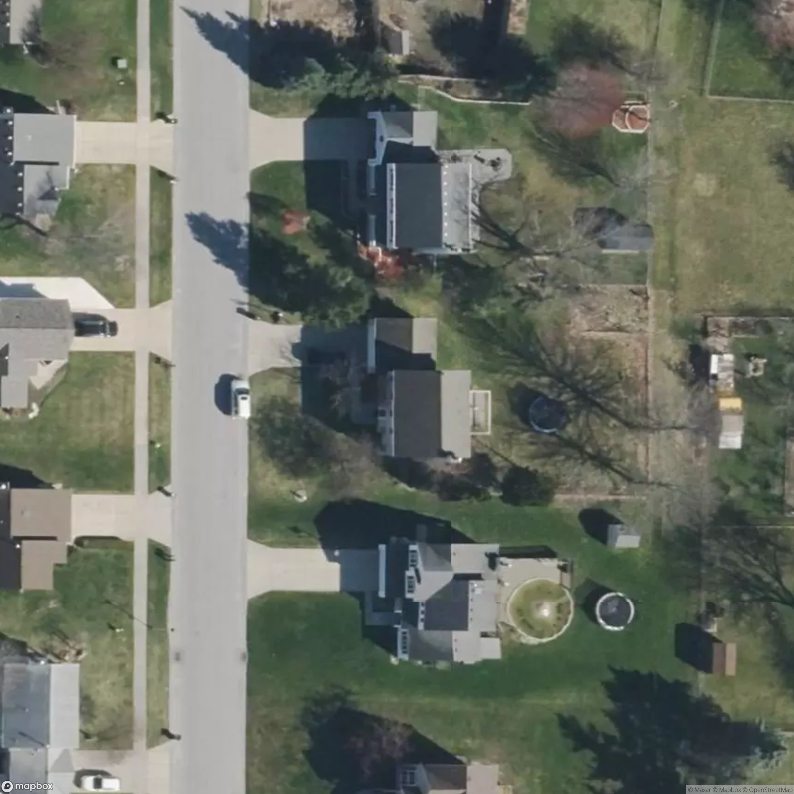
Measurement ready for review
AI outlines the serviceable grass and leaves out the house, driveway and other non-lawn surfaces.
Love supports AI-assisted square-footage measuring for lawn service areas and structure footprints. Review the mapped shape and exclusions before using the estimate. Lawn area, lot size and a home’s exterior footprint are different measurements; a footprint does not reveal interior living area or multiple floors.
Locate the customer’s property and confirm the correct structure and service area in the aerial view.
Outline the lawn or structure footprint. Review the shape, excluded surfaces and any areas hidden by trees or shadows.
Use reviewed square footage as one input to your estimate and service discussion, with your own pricing and field judgment.
The whole lot is rarely the whole lawn. Separate grass from the house, driveway, patio and other surfaces so the service scope is easier to explain.
Map the visible structure footprint when the building itself is the subject. Keep that result distinct from the surrounding turf.
Before the next job
Yes. Love’s AI mapping and measuring tools help outline lawn areas from aerial property context and produce an area estimate in square feet. Review the shape, exclusions and service scope before using the result.
Love can help map the visible structure footprint in square feet. That is the horizontal area of the outline being measured, not automatically the home’s interior living area, room dimensions or total floor area across several stories.
No. A lot may include buildings, driveways, patios, beds and other non-lawn surfaces. Review the grass your business will actually service rather than using the entire parcel area.
No. Imagery age, scale, trees, shadows and hidden edges can affect an estimate. Your team should review measurements and verify consequential dimensions on site. Mapping does not establish legal boundaries.
See the whole picture
Turn the structure’s outline into a clearer perimeter estimate. See the path, review the edges and keep linear feet separate from square feet.
Explore the workflowLet AI help create the structure graph and propose bait stations around it. Give your technician a clear starting point to inspect, adjust and approve.
Explore the workflowBuilt for the work you know
See area, distance and graphing workflows with the Love team.
See it on your properties